Over our 22nd wedding anniversary in March, 2004, we traveled to the "red rock country" of the American southwest for landscape photography in northern Arizona and southern Utah. The first part of the trip was with Joseph Van Os Photo Safaris to the slot canyons and Monument Valley. We continued on to Bryce Canyon on our own.
Vermilion Cliffs National Monument:
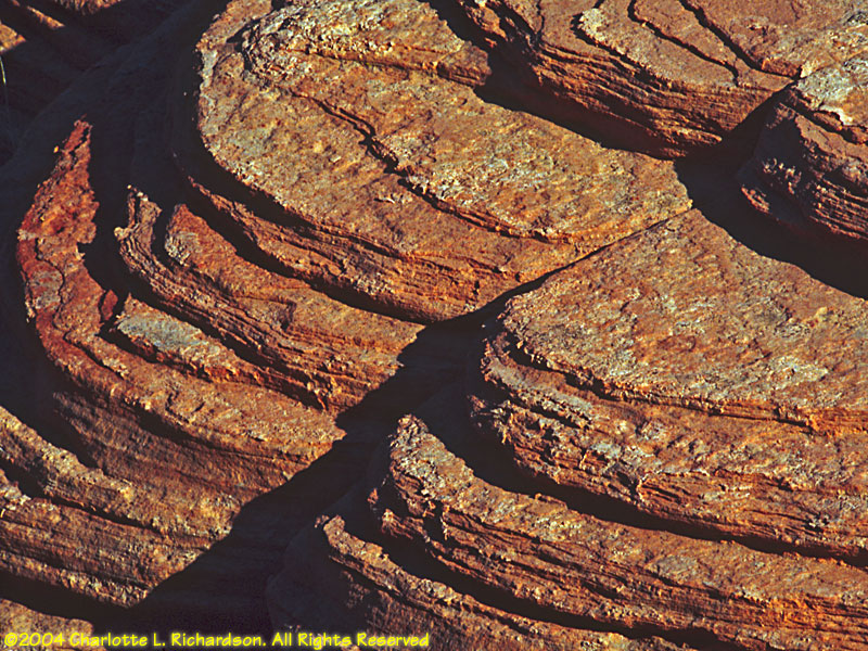
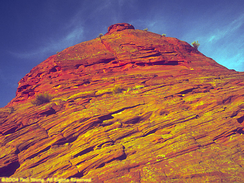
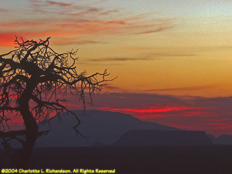
The "beehives" rock formations are just west of Page, Arizona, and are a good site for sunrise photography.
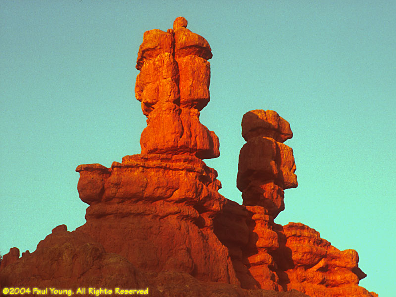
Big Water:
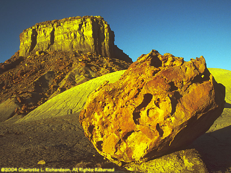
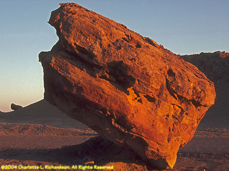
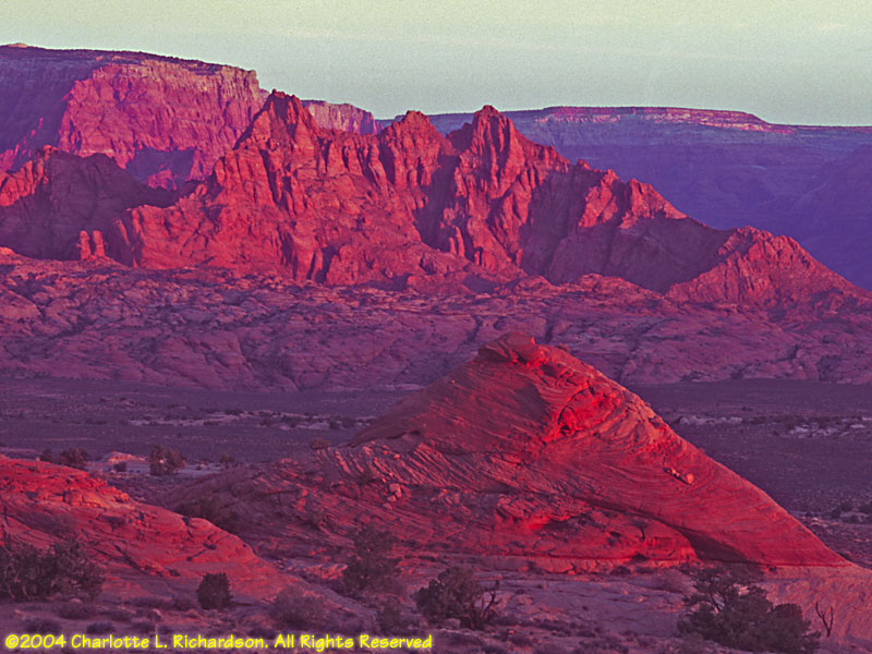
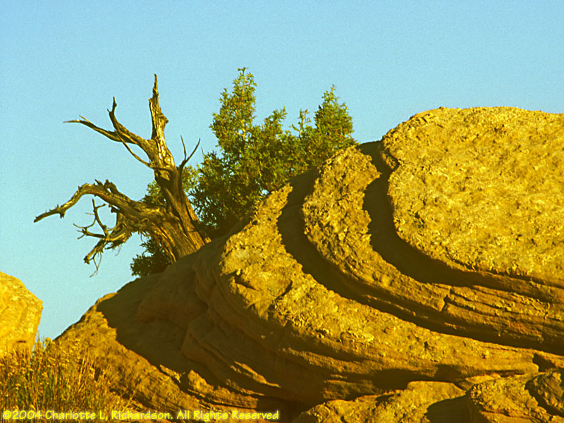
There isn't much water in Big Water. That is the name of the nearest town to these rock formations in the southern part of Grand Staircase-Escalante. We were there at sunset.
Pariah movie set:
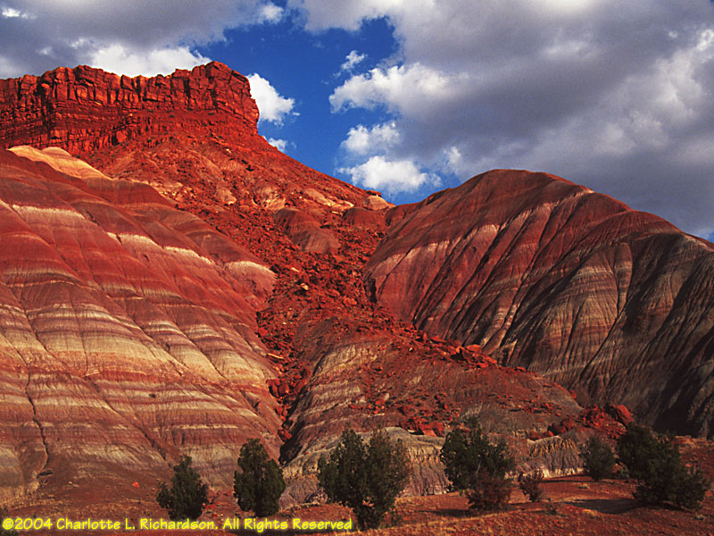
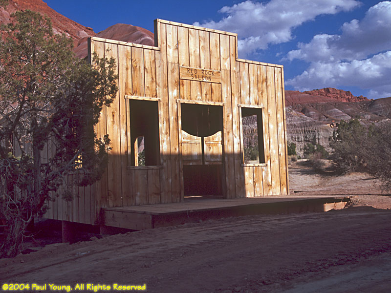
Paria (no "h") town was located in the floodplain of the Paria River. Nothing remains but the cemetary. The movie set was washed out by flash floods and was rebuilt at a higher elevation near a spectacularly striped butte. We spent an afternoon here.
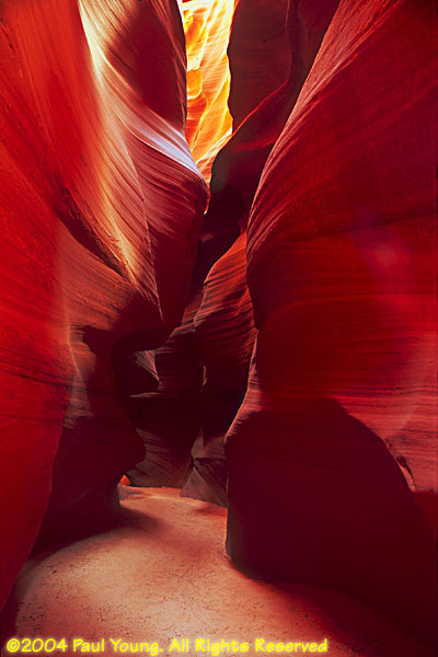
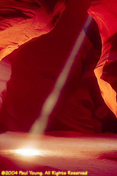
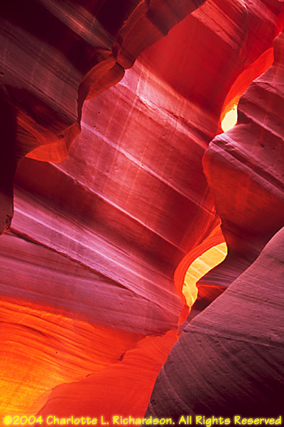
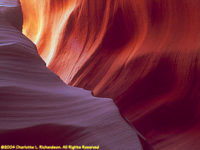
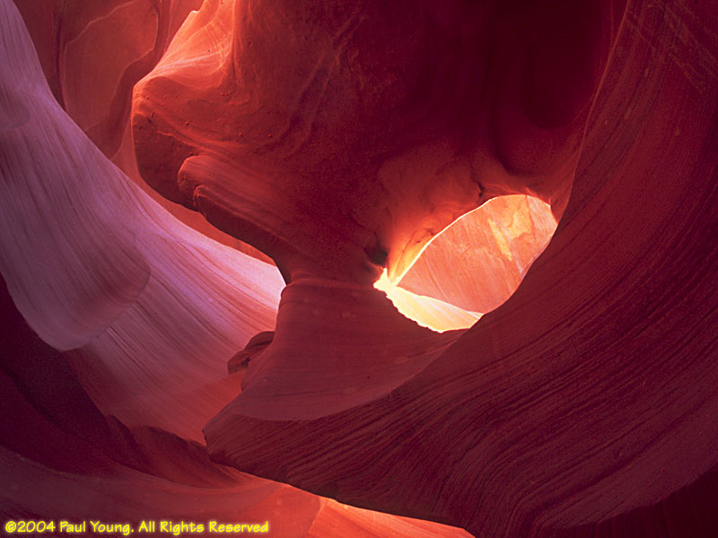
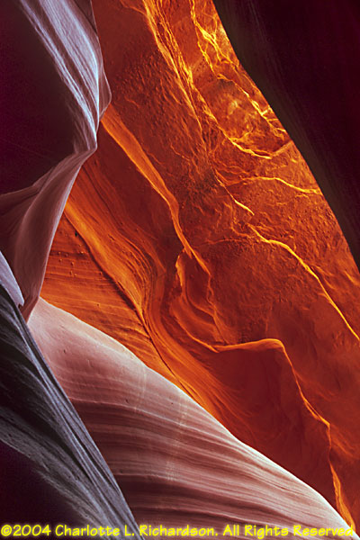
Slot canyons:
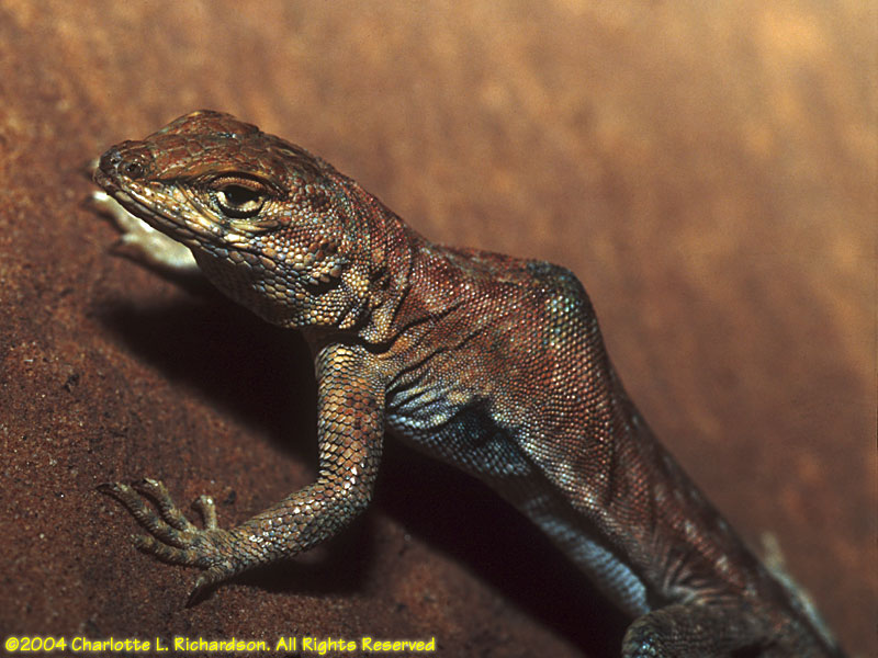 Common side-blotched lizard, Uta stansburiana
Lower Antelope Canyon starts as a crack in the sandstone bed of the floodplain and descends through several levels of narrow, twisted passages to exit through a crack in the cliff wall a little more than half a mile later. Metal ladders provide access for the non-claustrophobic.
Both canyons are best visited around mid-day when there is plenty of light on the red sandstone walls. The upper canyon gets far more visitors.
Monument Valley: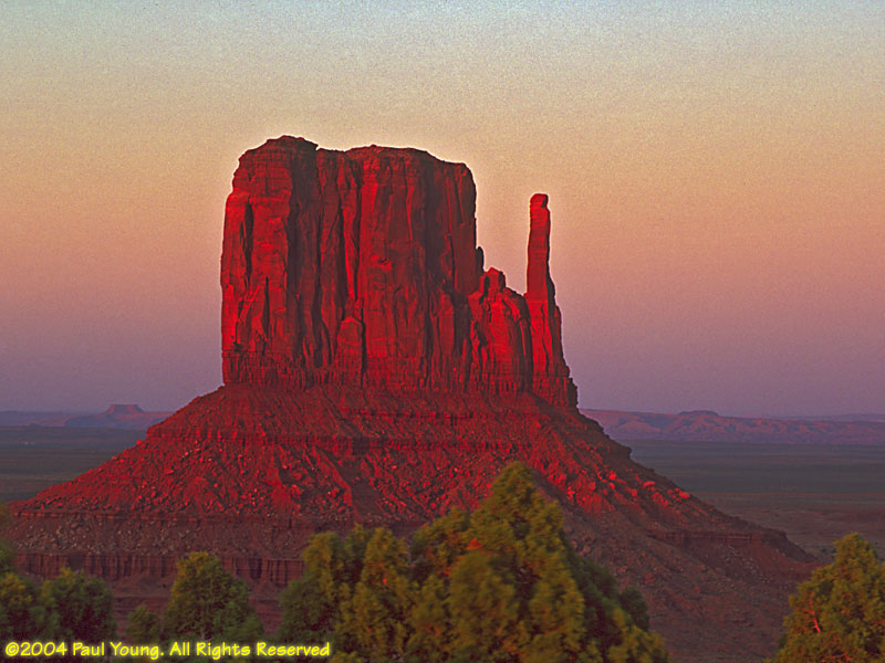
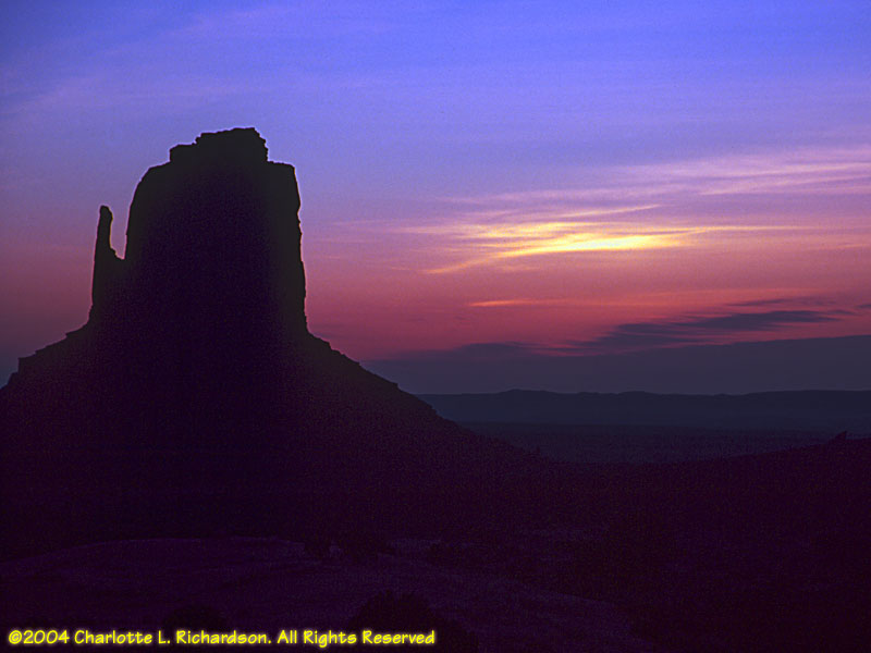
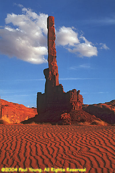
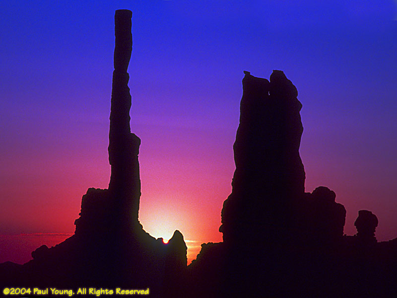
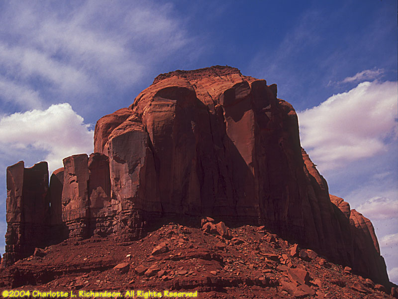
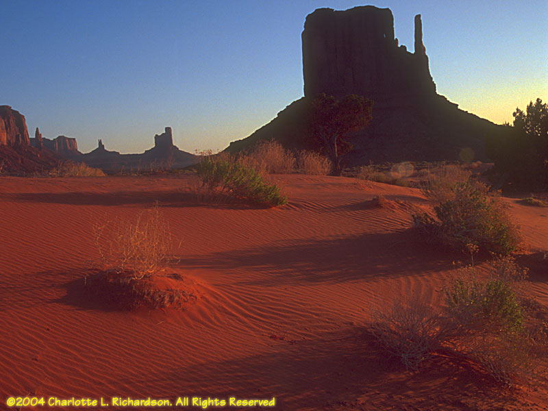
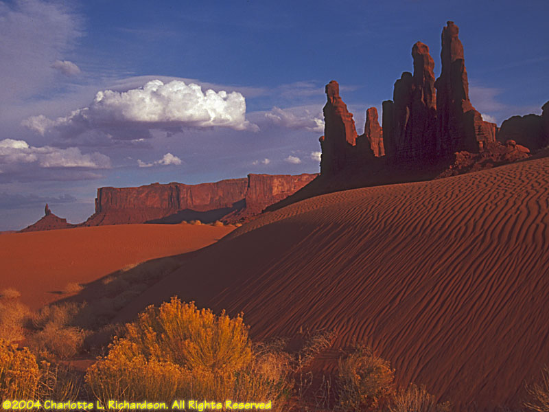
Monument Valley Navajo Tribal Park straddles the Arizona/Utah border. The dramatic landscapes of the park have formed a background for many old westerns.
Mystery Valley:
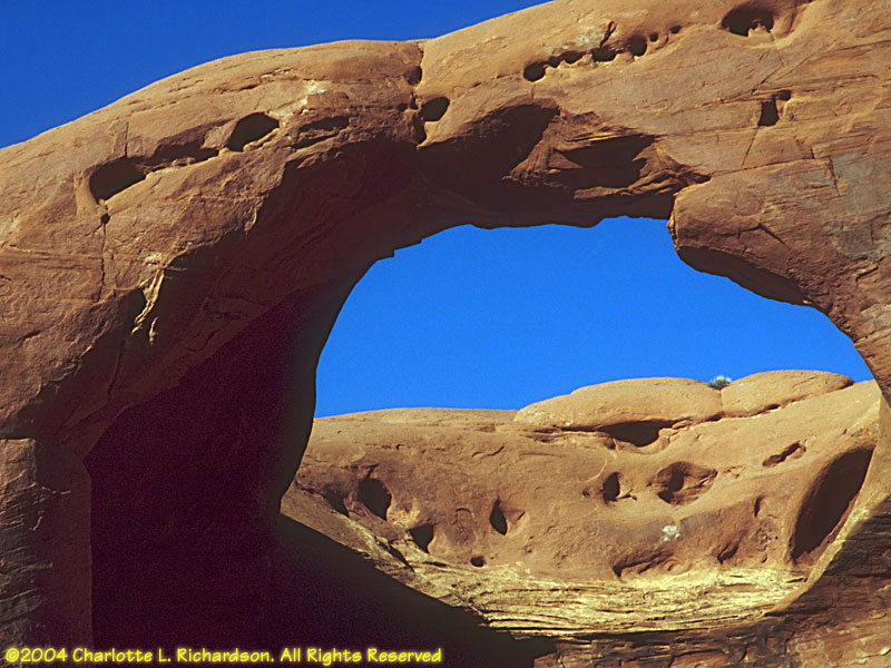
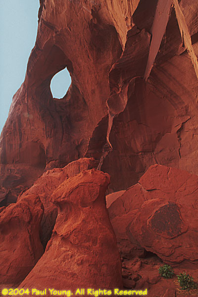
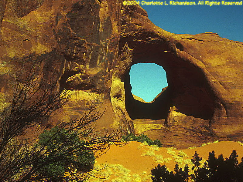
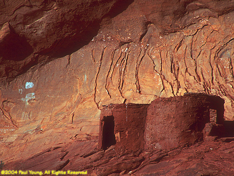
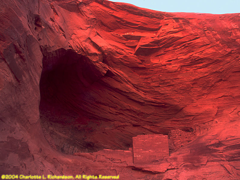
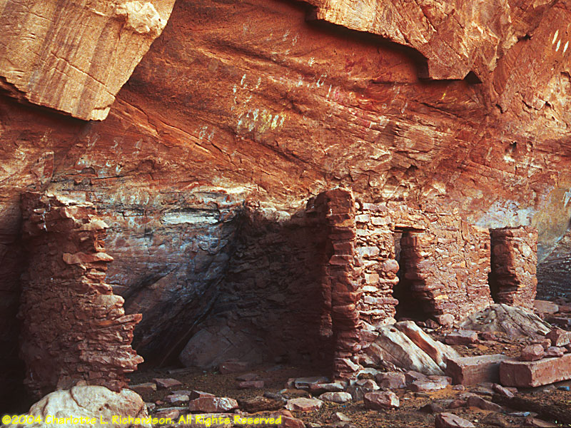
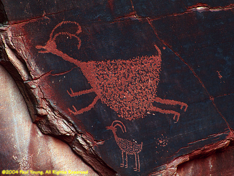
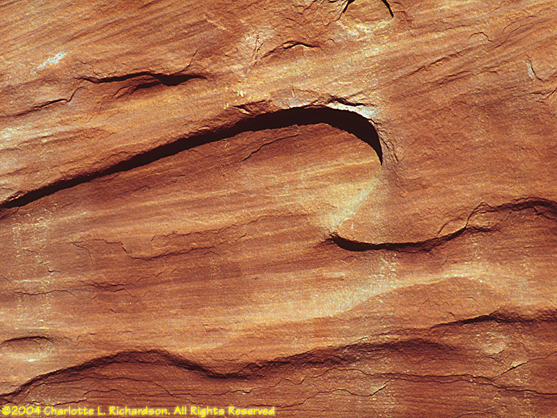
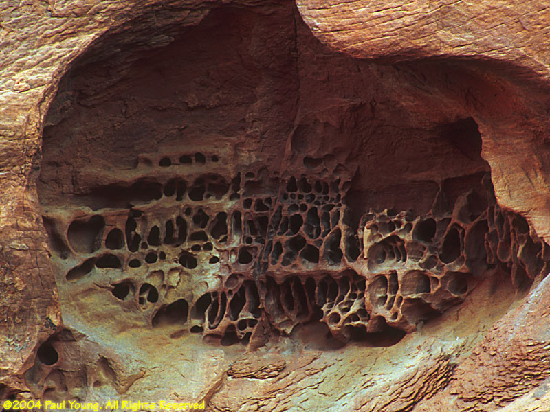
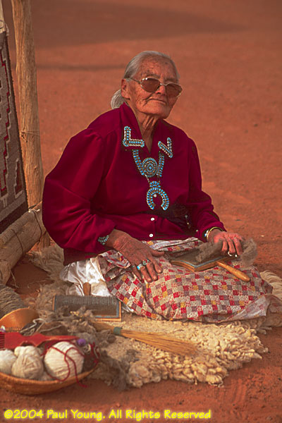
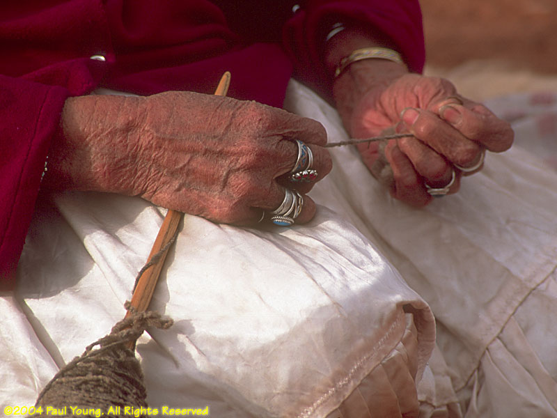
South of the main area of Monument Valley lies Mystery Valley. Instead of the famous buttes and rock formations, this area has sandstone arches and ancient Anasazi ruins, and is home to many traditional Navajo families.
This park and campground lie southeast of the entrance to Bryce Canyon off of a rough dirt road that traverses Grand Staircase-Escalante from north to south.
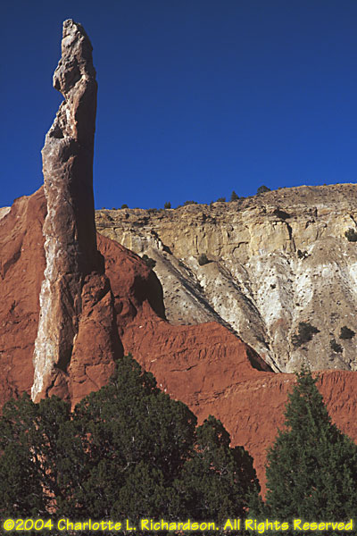
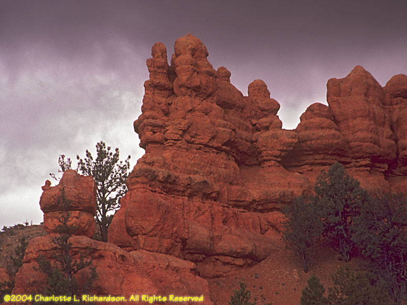
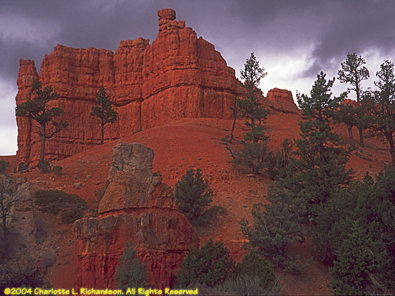
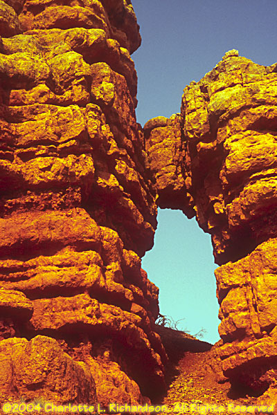
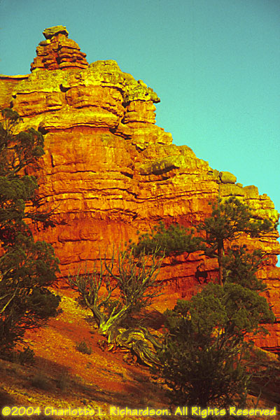
Red Canyon:
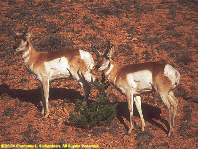 Pronghorn, Antilocapra americana
Red Canyon is just west of the entrance to Bryce Canyon. It has similar rock formations, but you traverse it at the base of the formations rather than looking down from above. We first arrived here during a sleet and snow storm but that quickly cleared. This is a pretty place to be at sunset.

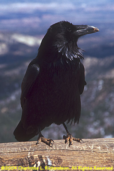 Common raven, Corvus corax
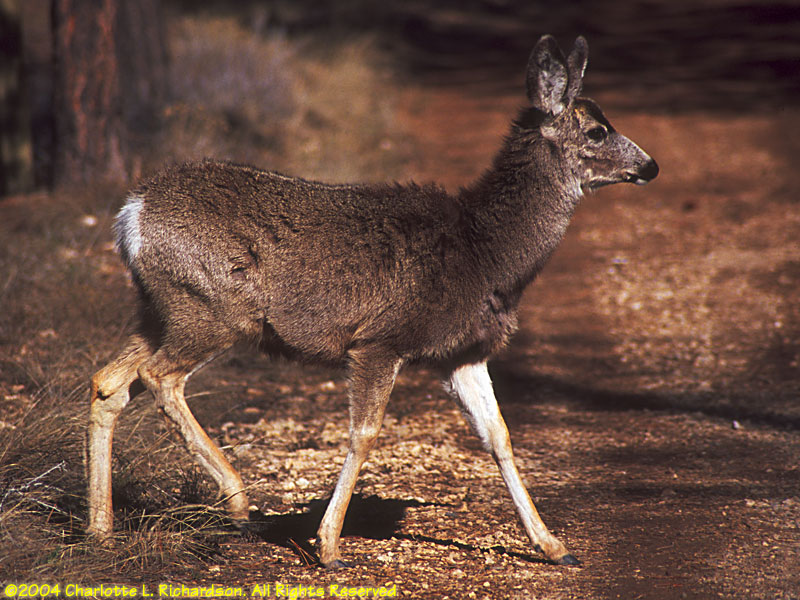 Mule deer, Odocoileus hemionus
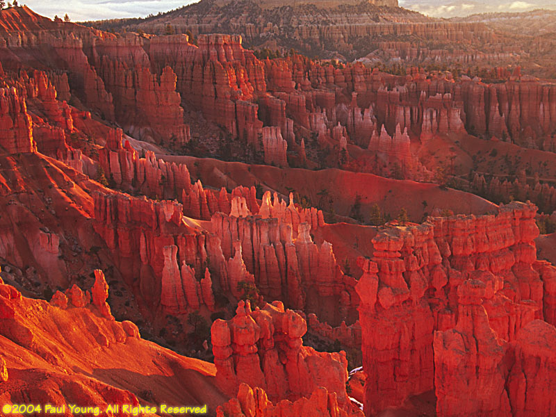
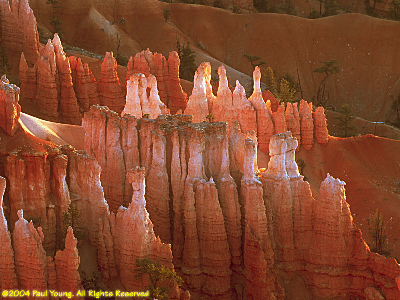
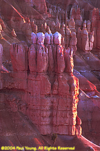
Bryce Canyon is famous for its magnificent rock formations, called "hoodoos". They really glow at sunrise.
©2004, 2019, 2026 Mermaid Underwater Photographic. All Rights Reserved.
Contact us at mermaid@underwater.org.
Last modified 11 April 2026