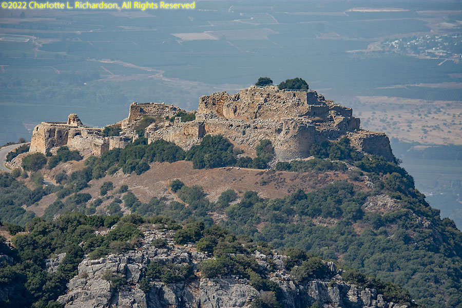
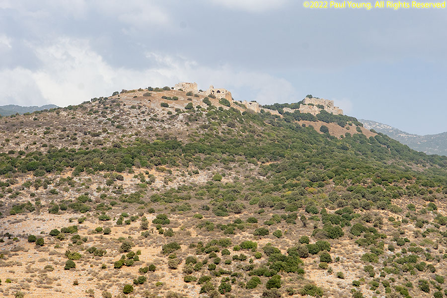
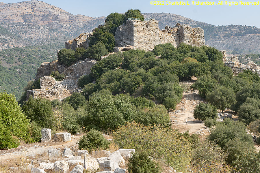
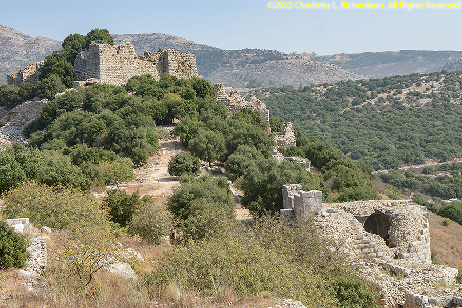
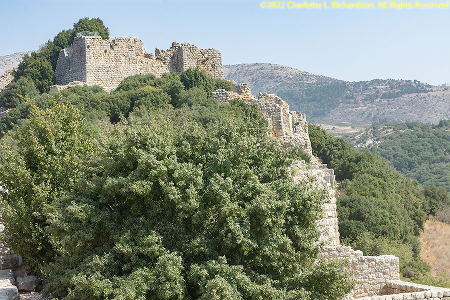
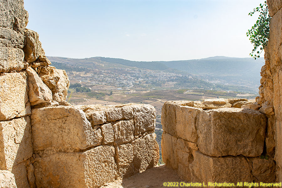
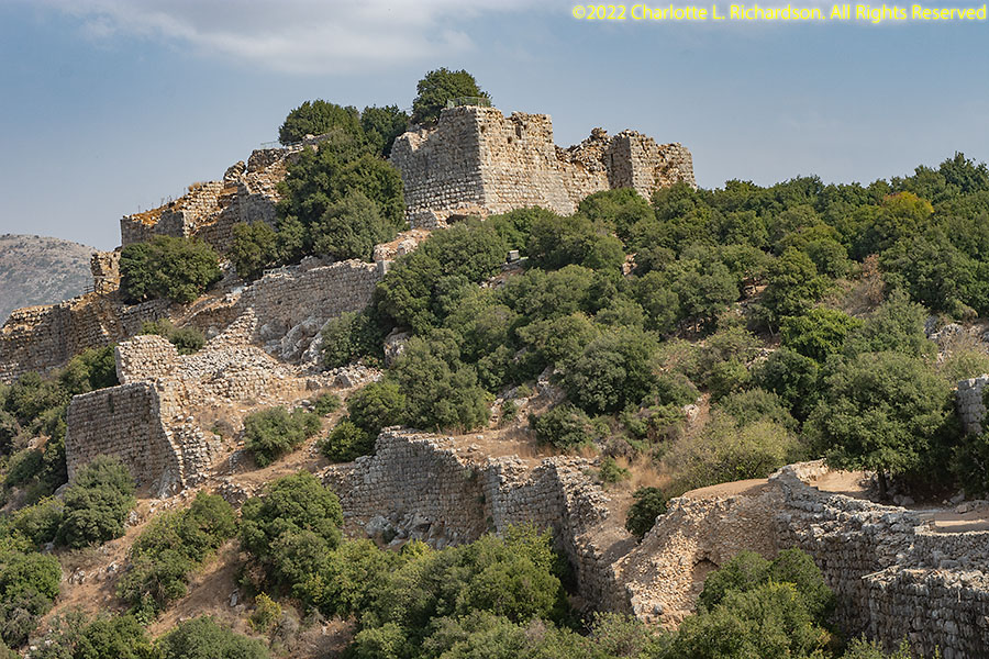
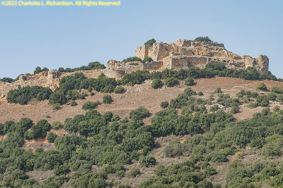
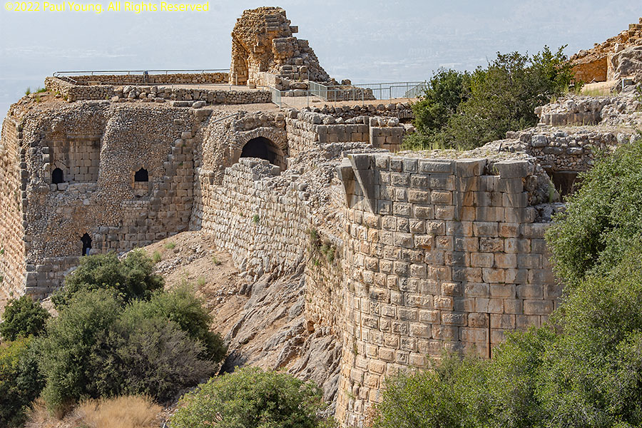
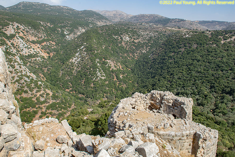
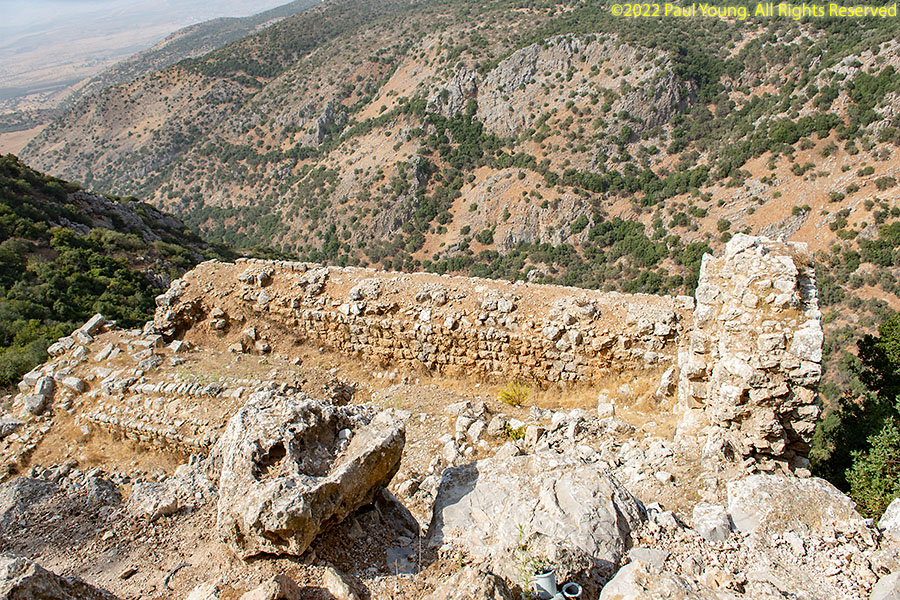
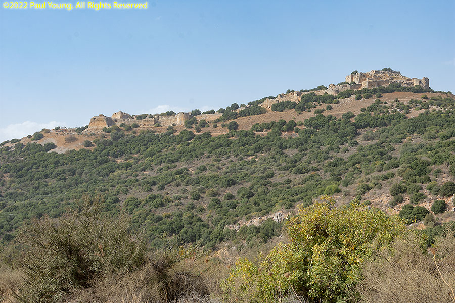
Nimrod Fortress (Qal'at Subeyba or Qal-'at Nimrud) is on the southwest slopes of Mount Hermon 815m above sea level in the northern Golan and is visible from all over the Hula Valley.
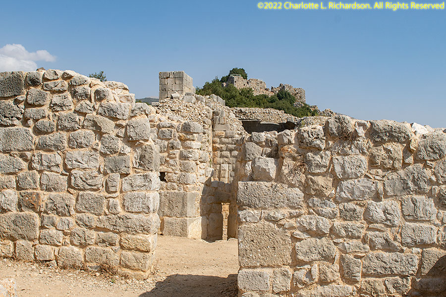
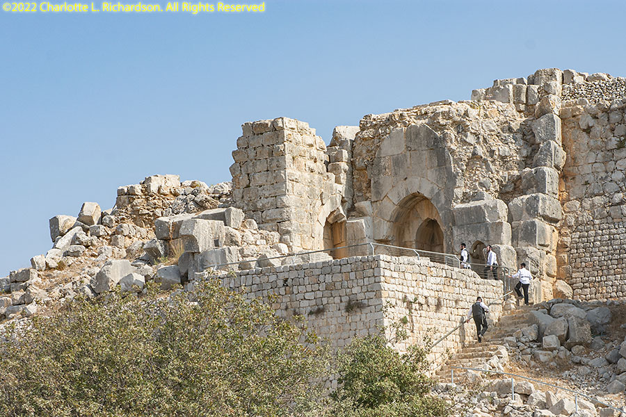
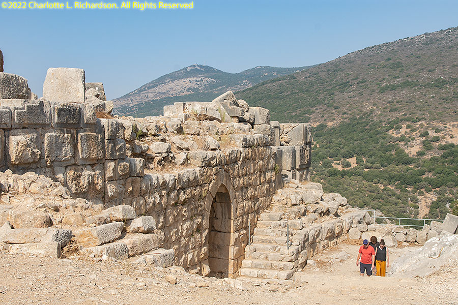
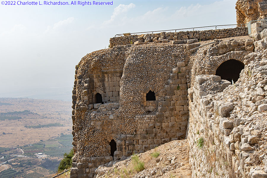
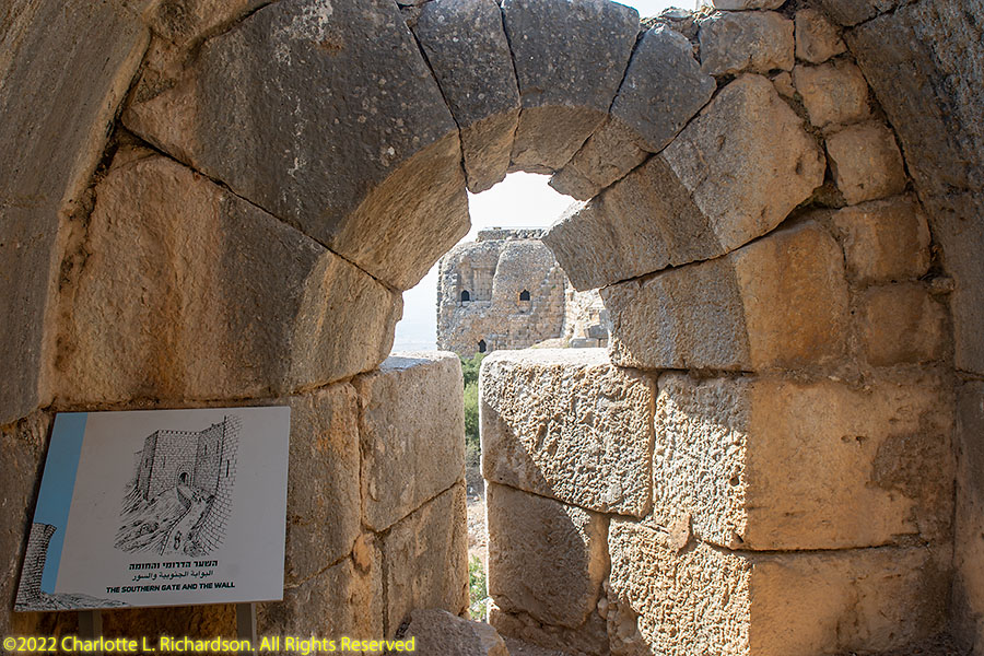
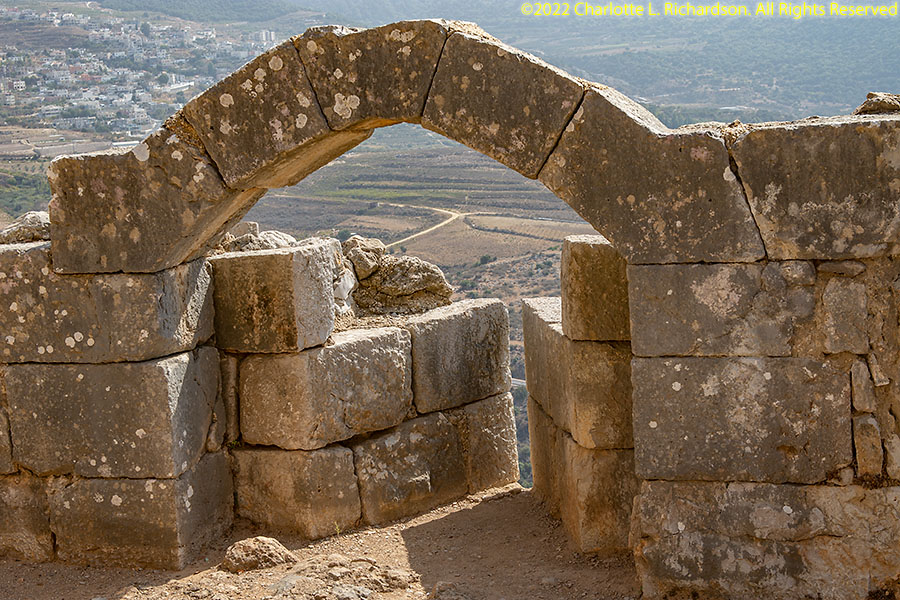
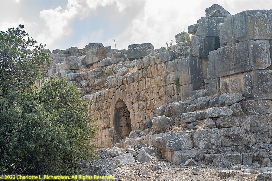
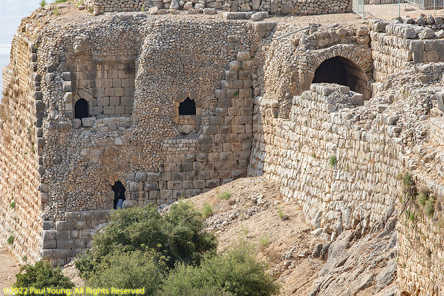
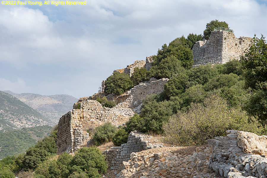
It is one of the largest and most impressive medieval fortresses in the Middle East. It controlled one of the region's main roads, from Tyre on the Mediterranean coast through the upper Hula Valley and Banias to Damascus. The fortress is surrounded by a towered wall with three gates, two on the south side and one on the north side.
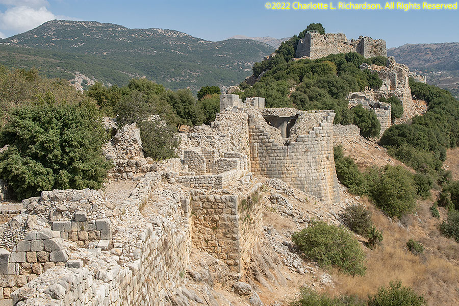
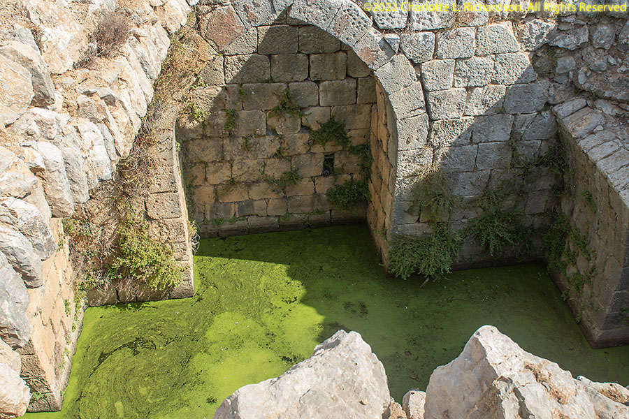
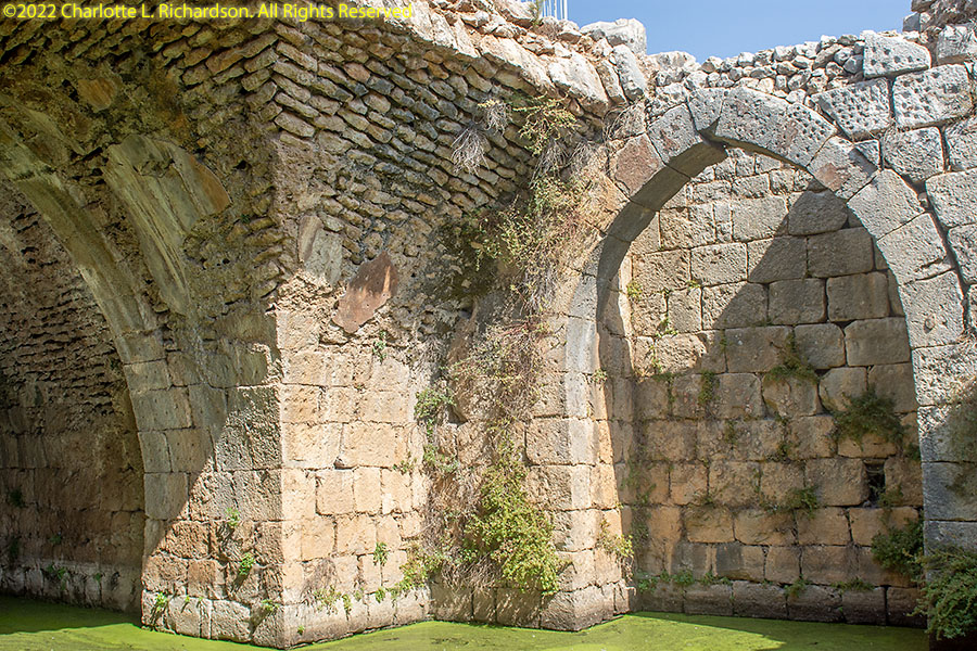
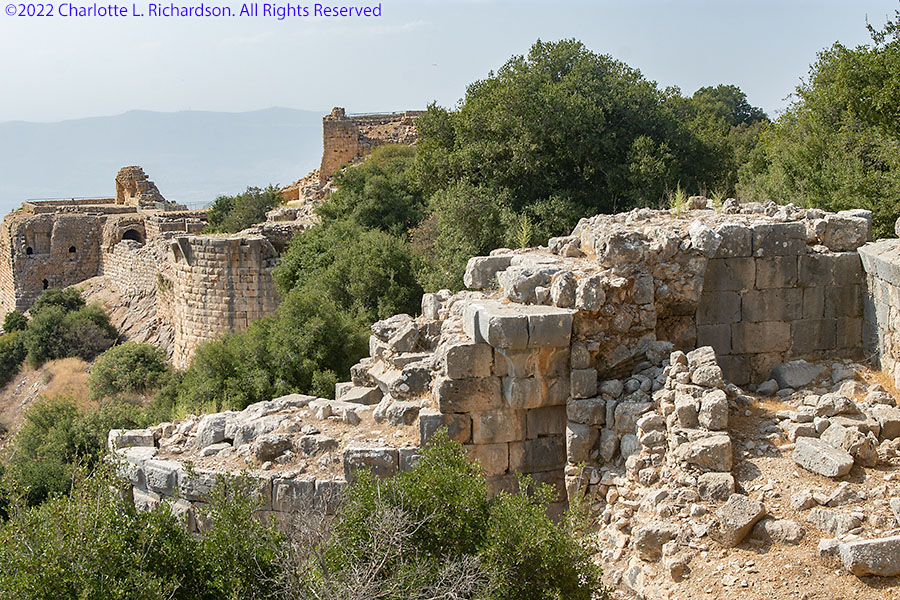
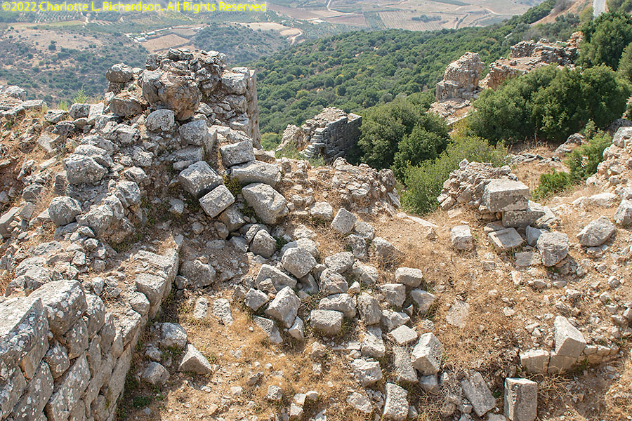
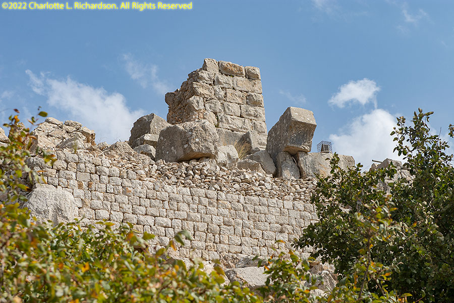
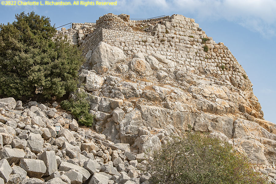
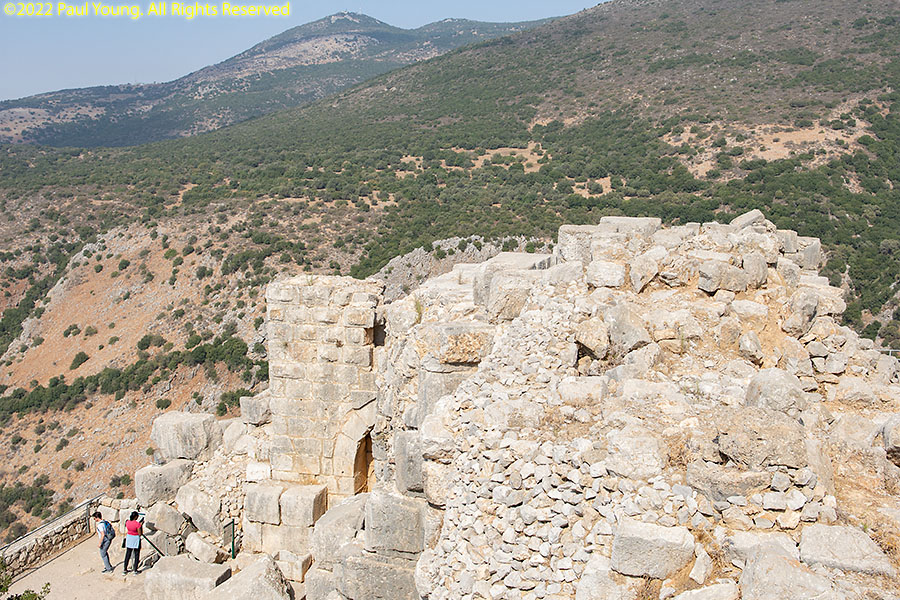
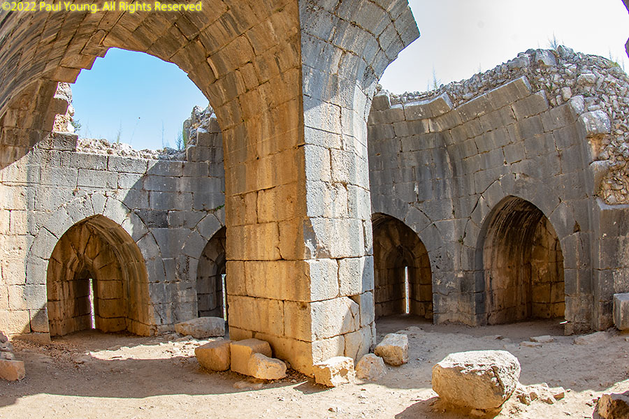
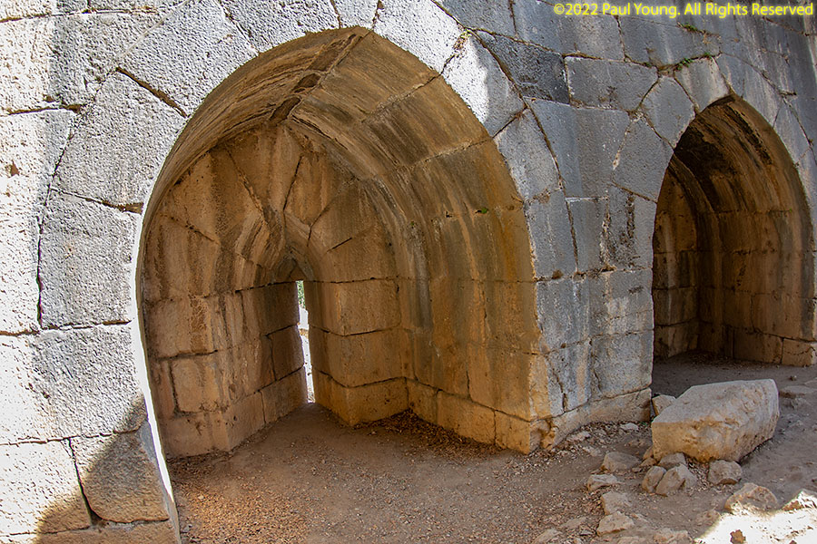
The fortress is made up of two parts, the donjon (keep)...
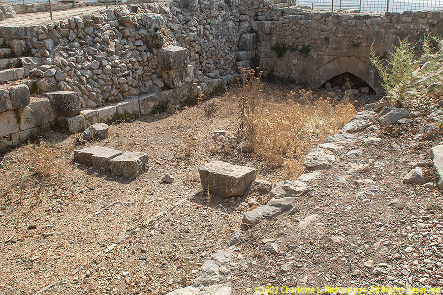
and the lower courtyard with its buildings, walls, and towers.
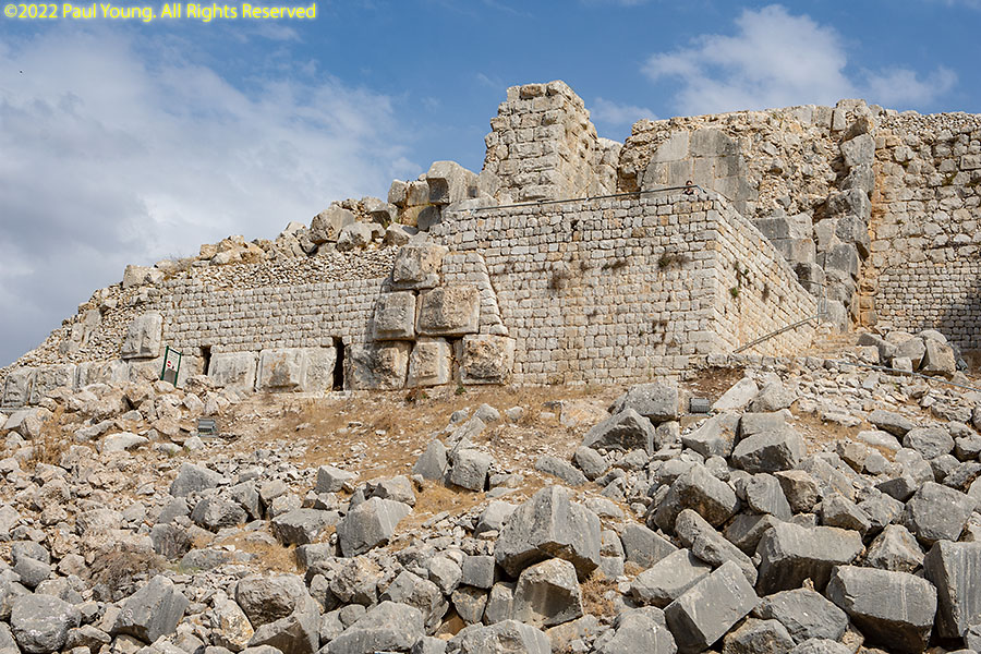
After losing the battle at the Horns of Hittin in 1187 CE, the Crusaders lost their hold on most of Israel. The Ayyubid army under Saladin (Salaha-Din) destroyed all fortresses they captured. Nimrod Fortress was constructed in 1227 by Saladin's nephew to defend the road to Damascus from the Sixth Crusade, then reinforced and expanded in 1230. In 1253 the Crusaders tried again to conquer the fortress but failed. The Mongol invasion of Syrian from Central Asia in 1260 brought about the destruction of the fortress.
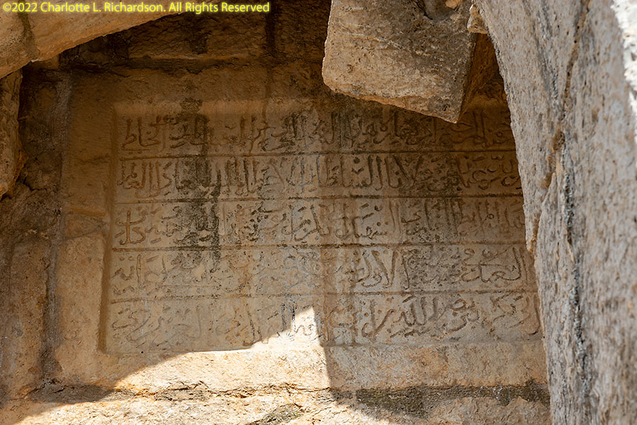
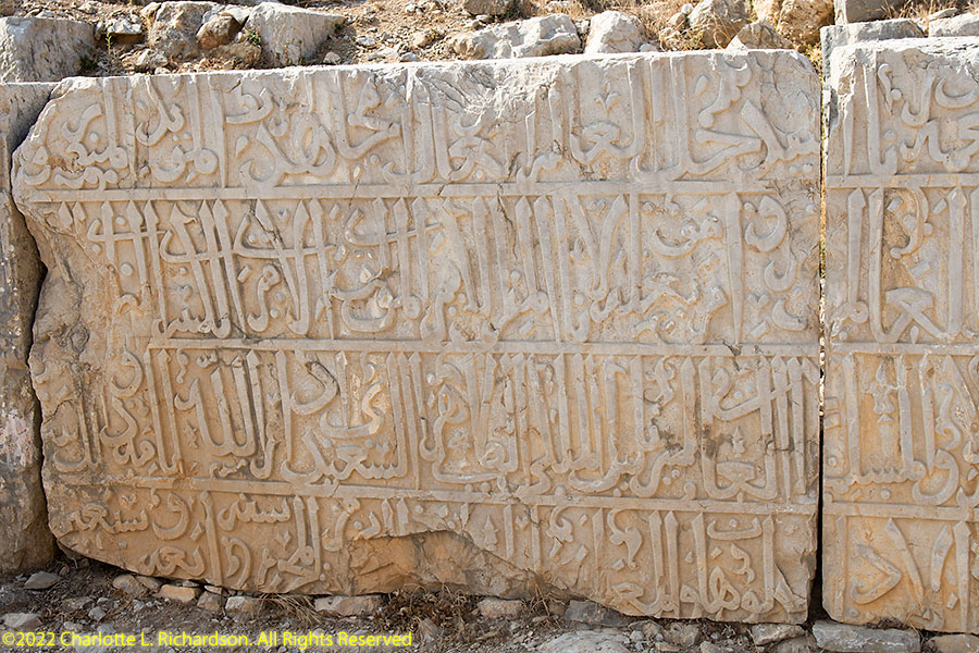
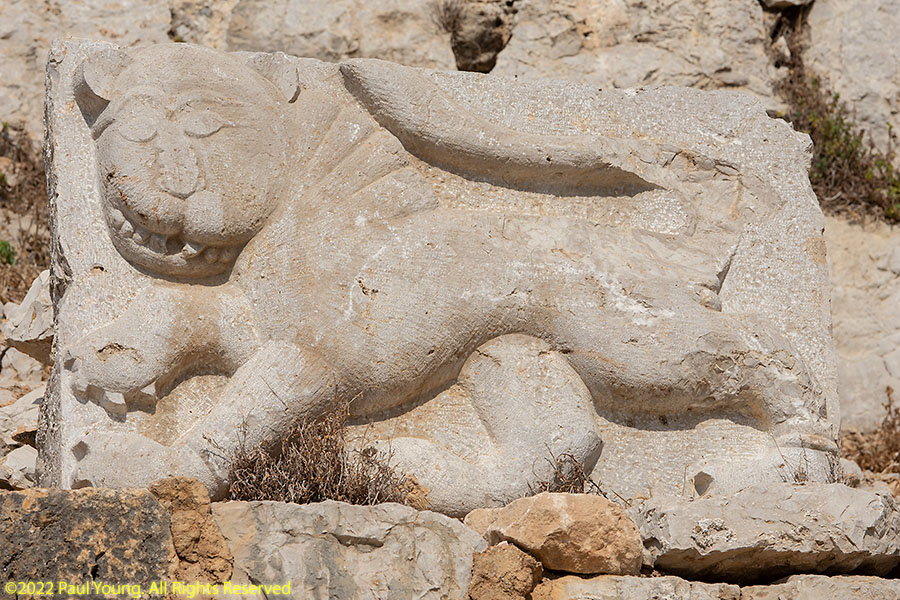
The Mamluk army managed to stop the Mongols at the Battle of 'Ein Jalud (En Harod). The Mamluk commander Baybars named himself sultan and gave the fortress to his second-in-command, Bilik. Bilik constructed additional towers and inscriptions commemorating his sultan. The stylized panther or lion was Baybars' insignia.
With the surrender of the Crusaders and their final ejection from the Holy Land at the end of the 13th century the prestige of the fortress diminished. In the 15th century it served as a prison for rebels and later was abandoned.
©2022 Mermaid Underwater Photographic. All Rights Reserved.
This page sponsored by Mermaid Underwater Photographic. Contact us at mermaid@underwater.org.
Last modified 30 November 2022