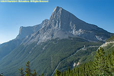
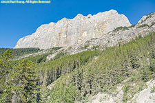
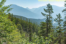


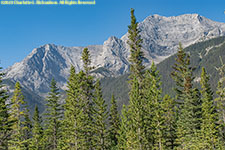


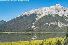
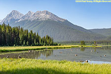

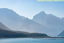


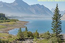

The mountain town of Canmore is twenty minutes east of Banff and is the gateway to Kananaskis Country, a multi-use recreational area in the foothills and front ranges of the Canadian Rockies near Banff. It includes 51 parks of various sorts, including nine provincial parks, as well as public-use lands, making up more than 4200 sq km (1600 sq mi).
The Three Sisters Mountains overlook Canmore. The peaks are known as Big Sister, Middle Sister, and Little Sister. The highest point is 9633'.
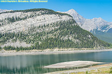
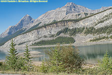
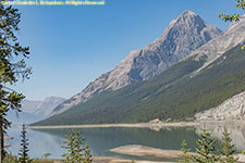
We drove south through Spray Valley Provincial Park and Peter Lougheed Provincial Park on gravel route 742 (Three Sisters Parkway, Smith-Dorrien Trail or Spray Lakes Road) to route 40 (the Kananaskis Trail), and then south before returning to the Trans-Canada 1 via route 40 to drive to Calgary.
Three Sisters Parkway (route 742):
Kananaskis Lake:
Kananaskis Trail (AB-40):
Highwood Pass on the Kananaskis Trail (route 40) is the highest driveable paved road pass in Canada, 2227 m (7310'). Since the pass is right at treeline, it is one of the most accessible high alpine areas in the Rockies. It lies west of Mount Rae and Mount Arethusa of the Misty Range, south of Elbow Pass, in the Peter Lougheed Provincial Park. The Highwood River originates in the pass below Mount Arethusa. The road over Highwood Pass is closed to motor vehicles from December through mid-June.
Mount Tyrwhitt, 2874m (9429'), in the Elk Range west of Highood Pass on the Continental Divide.
Runnung Rain Peak and Mount Odium
Rock Glacier is just north of Highwood Pass on Mount Rae.
Hoary marmot (whistle pig), Marmota callgata
Bighorn sheep, Ovis canadensis
Blue grouse (female), Dendrogapus obsurus
Highwood Meadows is a fragile alpine meadow right at treeline in Highwood Pass, hence the boardwalk.
Mount Arethusa
©2023 Mermaid Underwater Photographic. All Rights Reserved.
Contact us at mermaid@underwater.org.
Last modified 23 August 2023